On foot, by bike or by car… Climb to the top of this Provencal giant. A 360 degrees view shows you the Provence, the Luberon and the Provencal Baronnies.
The mythic mountain
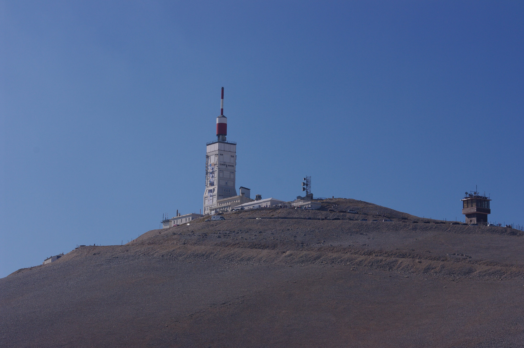
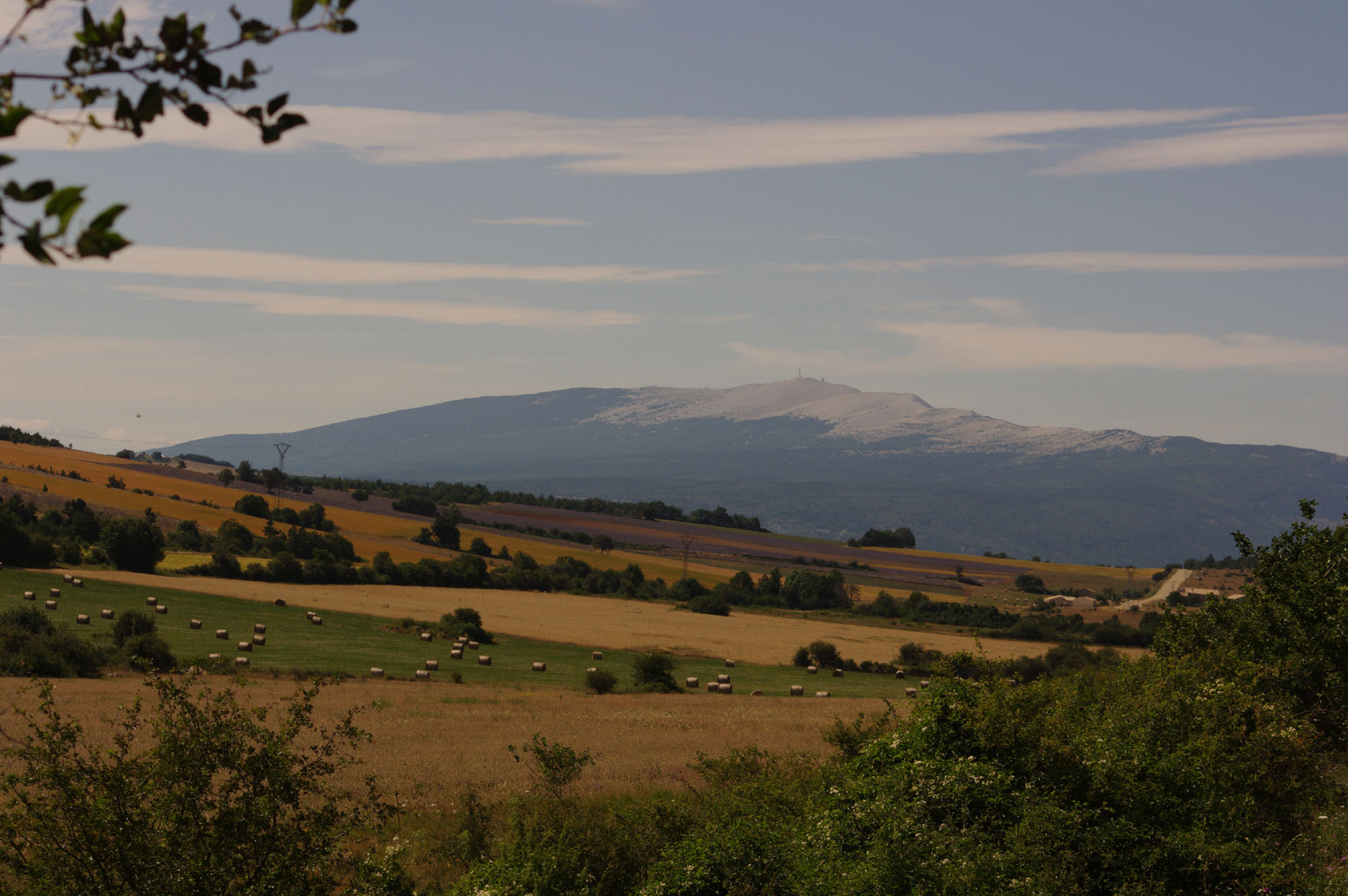
Mont Ventoux is a mythical mountain also called The Giant of Provence.
©OTBDP
From its peak at 1912 meters, he discovered one of the most vast panorama of Europe
This was the Tuscan poet Francis Petrarch, April 25, 1336 which made the first ascent of Mont Ventoux.
Frédéric MISTRAL was shipping night to watch the sunrise at the summit. He recounted the event in these words: “We saw the sun rise like a great King of glory, between the dazzling peaks of Alps covered with snow.” lavender fields in many caves of the town, archaeologists have found the significant tooling proving that this territory was occupied from the Neolithic,
Mont Ventoux is the highest point of the Baronnies Massif culminating at 1912 meters. Its former name Ventour, has been reinterpreted by “windy”
An ideal playground for sportsmen
Hiking
The practice of hiking will allow you to discover the exceptional fauna and flora of Mont Ventoux. The ventoux was classified by the UNESCO “biosphere reserve” in 1990, it presents a flora of a rare diversity: due to the configuration of the massif and its exposure – a face north (ubac), a south face (adret) – Mediterranean flora, medio-european, alpine species, forests of larch, fir, cedar etc. At the top, a zone of thermoplastic scree, subjected to an extreme climate, one finds even a species observed in arctic region. Many are protected species, some, very rare, only living on the Ventoux. Several hiking trails allow you to climb the Mont Ventoux, other shorter loops will also seduce families.
©OTBDP
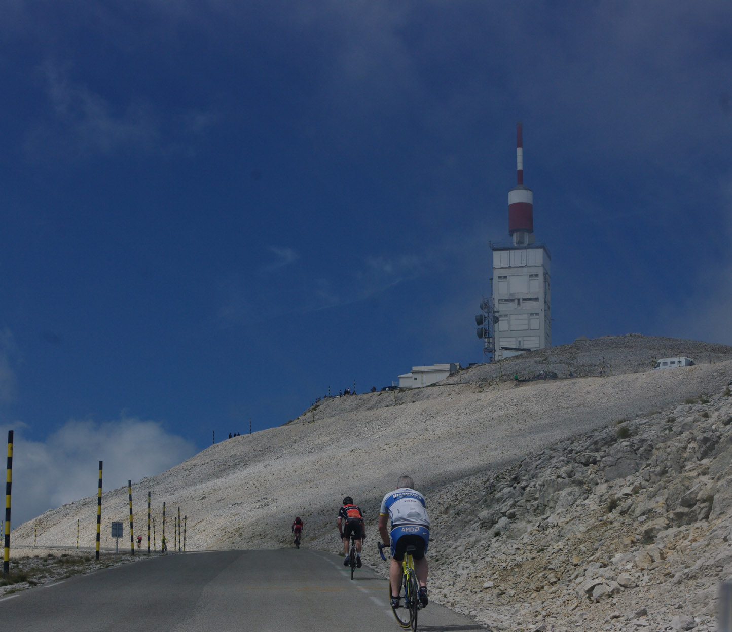
By bike
For road bicycle racing enthusiasts, the mountain can be climbed by three roads.
- South from Bédoin: 22 km over 1610 m. This is the most famous and difficult ascent. The road to the summit has an average gradient of 7.6%. Until Saint-Estève, the climb is easy, but the 16 remaining kilometres have an average gradient of 10%. The last kilometres have strong, violent winds. The ride takes 2–3 hours for trained amateur individuals, and professionals can ride it in 1-1.5 hours.
- North from Malaucène: 21 km over 1570 m. A little easier than the Bédoin ascent, better sheltered against the wind.
- East from Sault: 26 km over 1220 m. The easiest route. After Chalet Reynard (where the “lunar landscape” of the summit starts), the climb is the same as the Bédoin ascent. Average gradient of 4.4%.
You can also opt for the Electric Assistance bike!
©OTBDP